Redirect ItemDetail
The link that you are referencing is outdated!
If the item currently exists in our website, it is displayed below. If not, the link that you are referencing is no longer valid and no longer exists on our website. We will have some collections moved in the coming months. See what's coming in updates for Signature Collections or Digital WHILBR Collections on ContentDM.
If the item currently exists in our website, it is displayed below. If not, the link that you are referencing is no longer valid and no longer exists on our website. We will have some collections moved in the coming months. See what's coming in updates for Signature Collections or Digital WHILBR Collections on ContentDM.

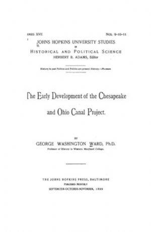
The Early Development of the Chesapeake and Ohio Canal Project.
INTRODUCTION.
The Chesapeake and Ohio Canal, as it exists to-day, lies on the north shore of the Potomac River, forming a navigable water-way between Georgetown, near the head of tide-water in the Potomac, and Cumberland, at the eastern
base of the Alleghany Mountains, where Will's Creek joins the Potomac. The canal is one hundred and eighty-six miles in length, sixty feet wide at the surface (with some ex-
ceptions) and six feet deep...